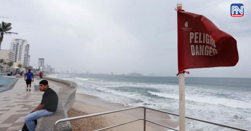
MEXICO CITY, Oct 2 (Reuters) - Hurricane Orlene barreled toward Mexico's southwestern coast as a dangerous Category 3 storm and is expected to dump torrential rains even as it is forecast to weaken in the coming days, the National Hurricane Center (NHC) said on Sunday.
Orlene, which is packing maximum sustained winds near 115 miles per hour (185 km per hour), is projected to pass near or over Mexico's Islas Marias on Sunday night and reach the coast of mainland Mexico on Monday, the Miami-based NHC said in its latest public advisory.
"Weakening is expected during the next day or so, however, Orlene is forecast to be a strong hurricane when it passes near or over Islas Marias, and remain a hurricane when it reaches southwestern Mexico," the NHC noted.
Torrential rains could lead to flash flooding, as well as possible landslides in areas of rugged terrain, it added.
Islas Marias could see 6 to 10 inches (15 to 25 cm) of rain, with local amounts of 14 inches, the Mexican states of Nayarit and Sinaloa 3 to 6 inches, with isolated areas of as much as 10 inches, and Jalisco and Colima some 1 to 3 inches.
The storm was currently located 80 miles southwest of Cabo Corrientes, Mexico.
Authorities urged local residents to take extreme precautions as the hurricane approaches and said there are 937 temporary shelters open if needed.
Mexico's civil protection agency announced on Twitter the closure of ports in Nayarit, Jalisco and Colima.