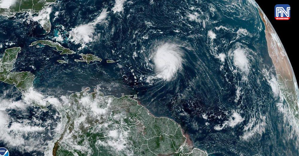
SHELBURNE, NOVA SCOTIA Sept 16 (AFP) - After churning for more than a week over the Atlantic Ocean, Lee turned into a post-tropical cyclone as the weather system closed in on New England and Atlantic Canada on Saturday, but was still producing hurricane-force winds.
The U.S. National Hurricane Center (NHC) said in its latest advisory that Lee would make landfall on Saturday and was about 185 miles (365 km) south-southwest of Halifax Nova Scotia, with maximum sustained winds of 80 mph (130 km/h).
Strong winds, coastal flooding and heavy rains were already occurring in parts of New England and Atlantic Canada, it added.
Earlier, the Canadian Hurricane Center projected Lee would make landfall in Nova Scotia some time after 3 p.m. ADT (1800 GMT) or later in New Brunswick with winds below hurricane force.
The potential path could take the storm into the Bay of Fundy, which separates the two provinces and has one of the highest tides in the world, with the difference between high and low tide as much as 12 meters (39 feet), or 16 meters at the head of the bay. Bands from the storm could still be over the bay during a high tide early Sunday morning.
Lee is also expected to generate rainfall of 2-5 inches (5 cm to 12.5 cm).
In anticipation, the administration of U.S. President Joe Biden issued an emergency declaration for Maine, providing federal assistance for the state ahead of the storm.
"We encourage all of those in the path of this large and dangerous storm to remain alert," White Press Secretary Karine Jean-Pierre told a press briefing.
Lee has been churning as a large hurricane over the Atlantic for more than a week, briefly threatening Bermuda but mostly harmless for anyone on land. It marks the second year in a row that such a powerful storm has reached Canada after Hurricane Fiona ripped into eastern Canada a year ago.