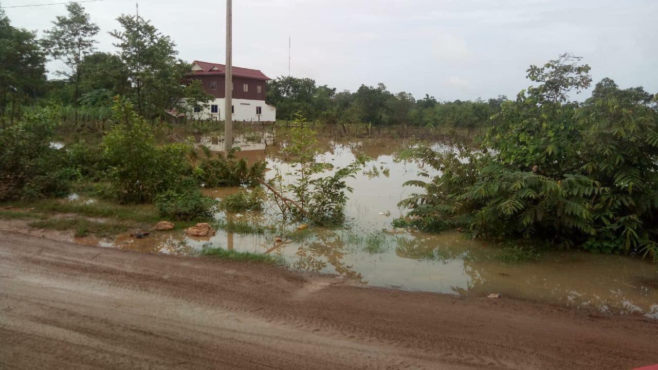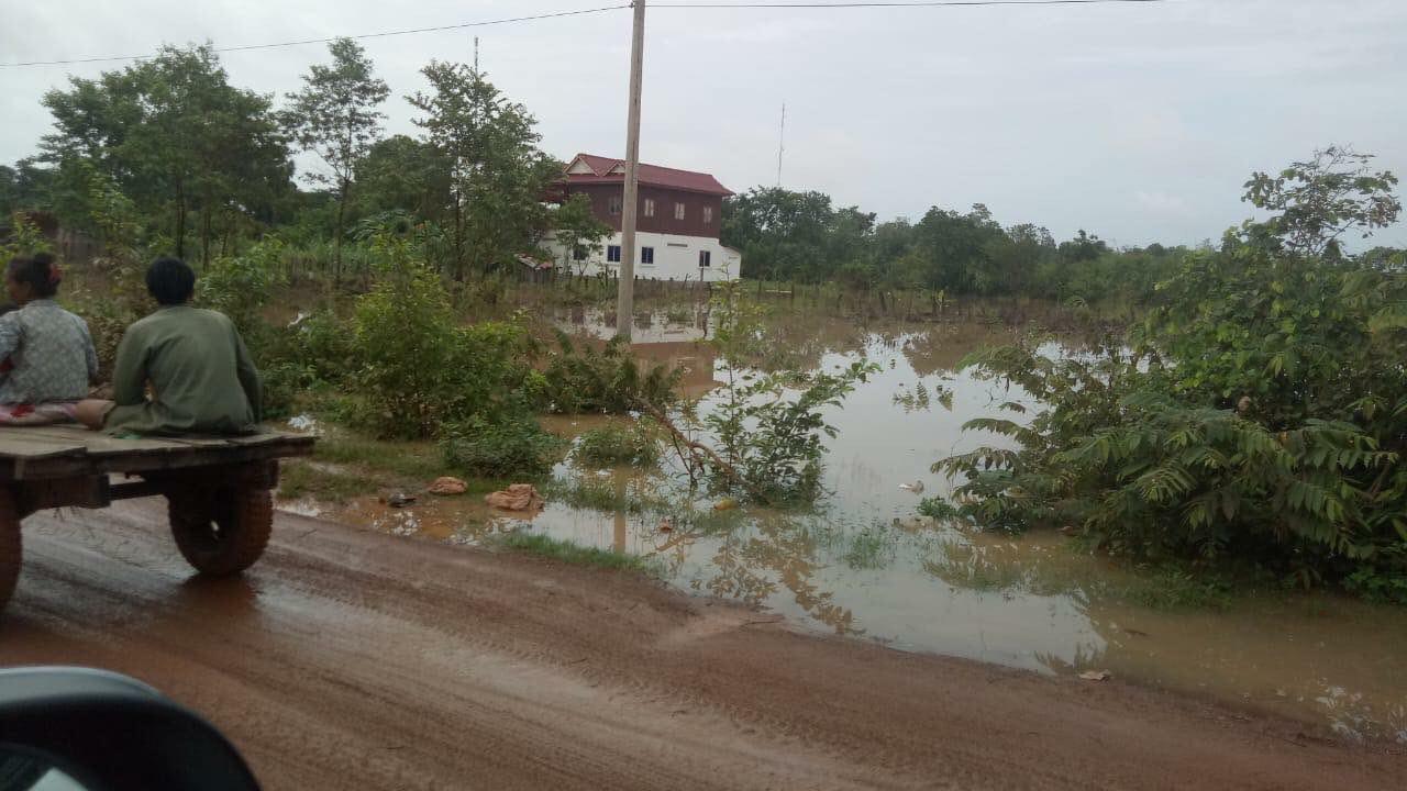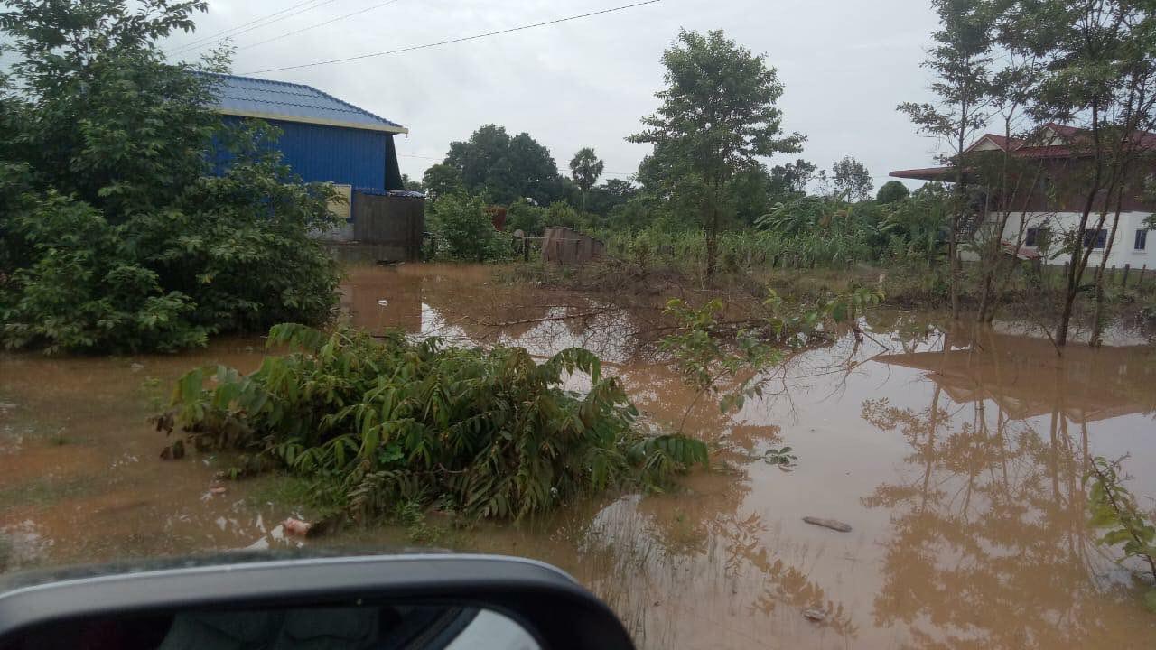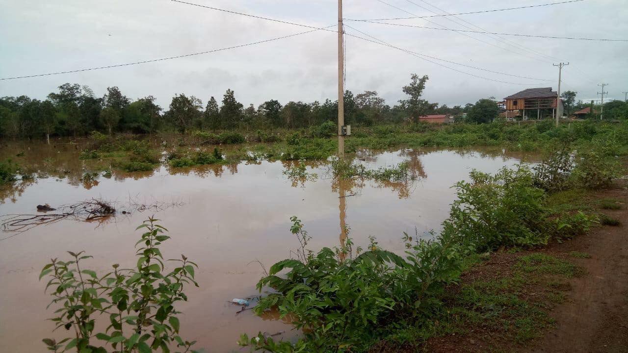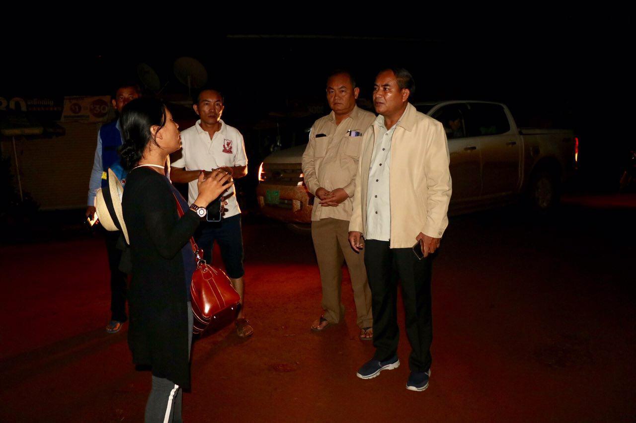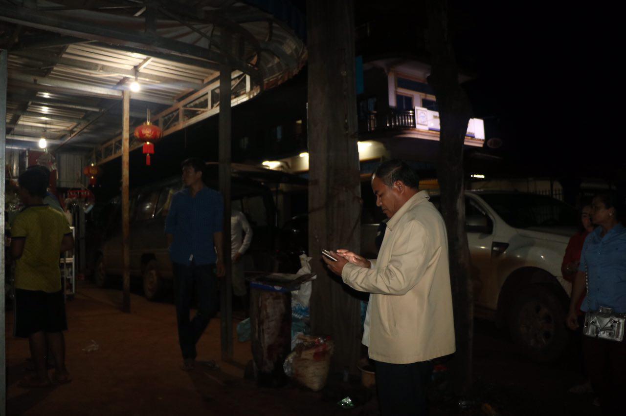

Phnom Penh (FN), July 25 – The Mekong River Commission (MRC) is monitoring closely the situation unfolding since 24 July on the flooding in Attapeu Province in southern Lao PDR due to the incident with the Xe-Pian Xe-Namnoy Hydropower Project, according to MRC's press release on its website on Wednesday.
Read additional report below:
According to notification document by the Lao government to the MRC, the Xe-Pian Xe-Namnoy project is located on Xe-Pian and Xe-Namnoy rivers in Champasak Province (Paksong, Pathoumphone and Champsack Districts) and Attapeu Province (Samakhixay and Sanamxay Districts). The project consists of two major dams – Xe-Pian and Xe-Namnoy - and five saddle dams (smaller auxiliary dams). The Xe-Pian Dam (48 meter high) is a concrete-gravity and earth fill dam, while the Xe-Namnoy (77 meter high) is clay-core and rock-fill dam.
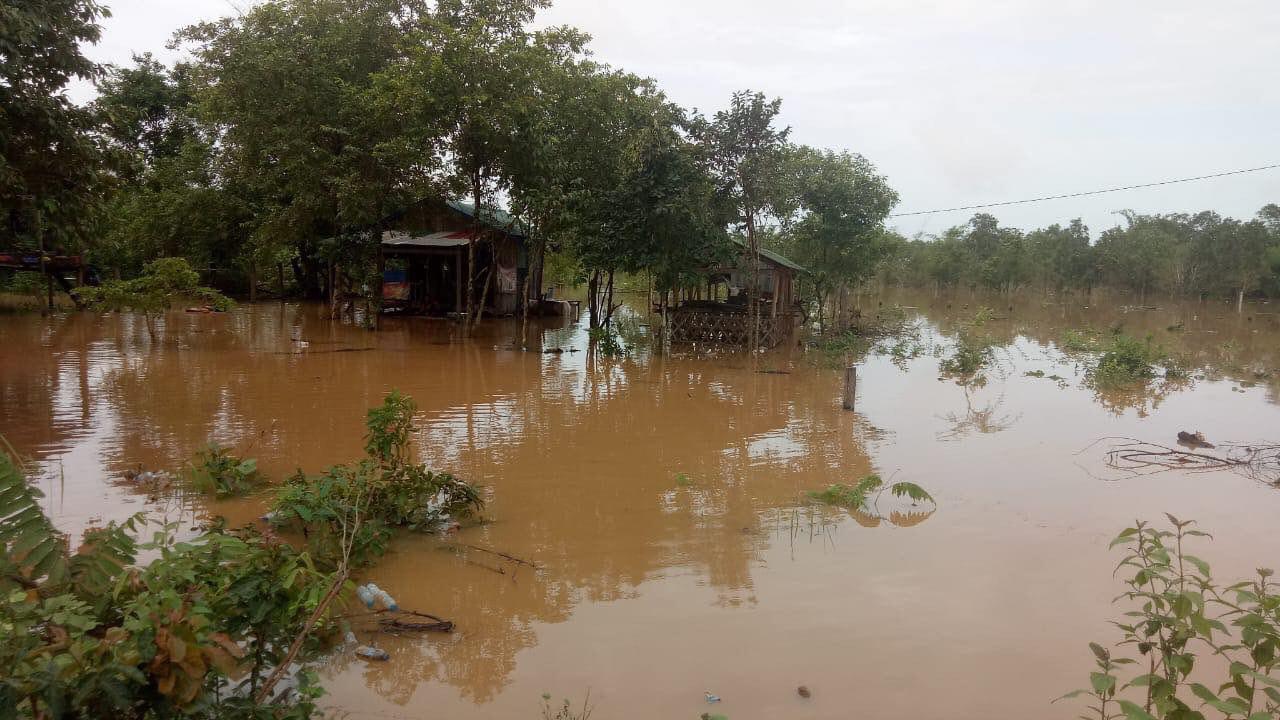
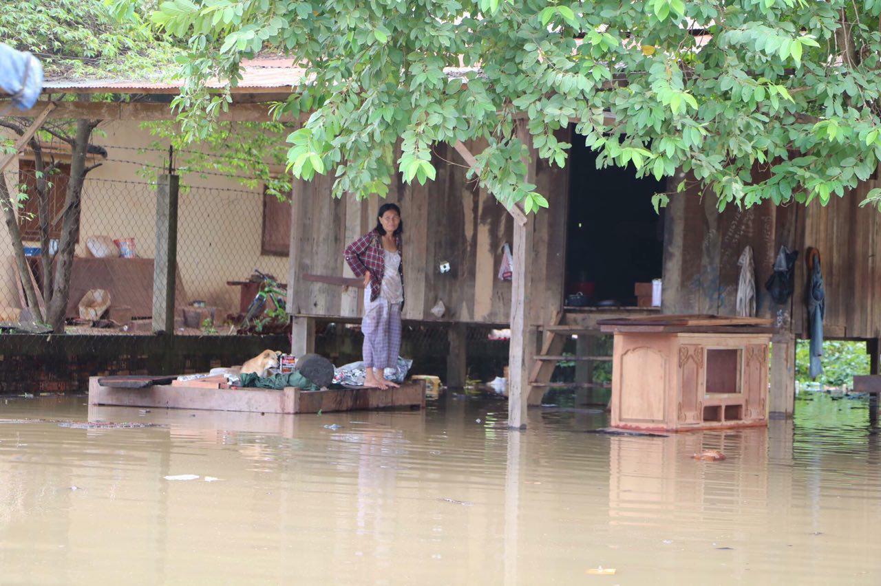
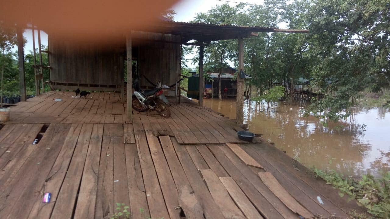
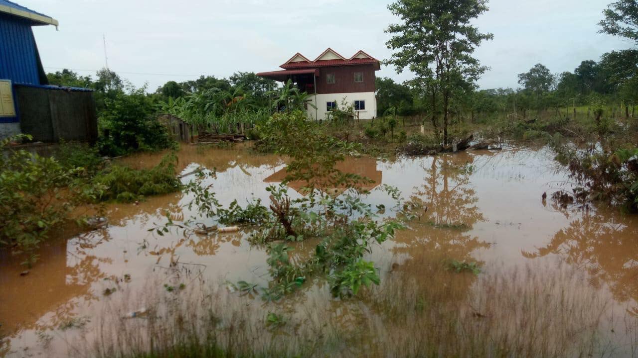
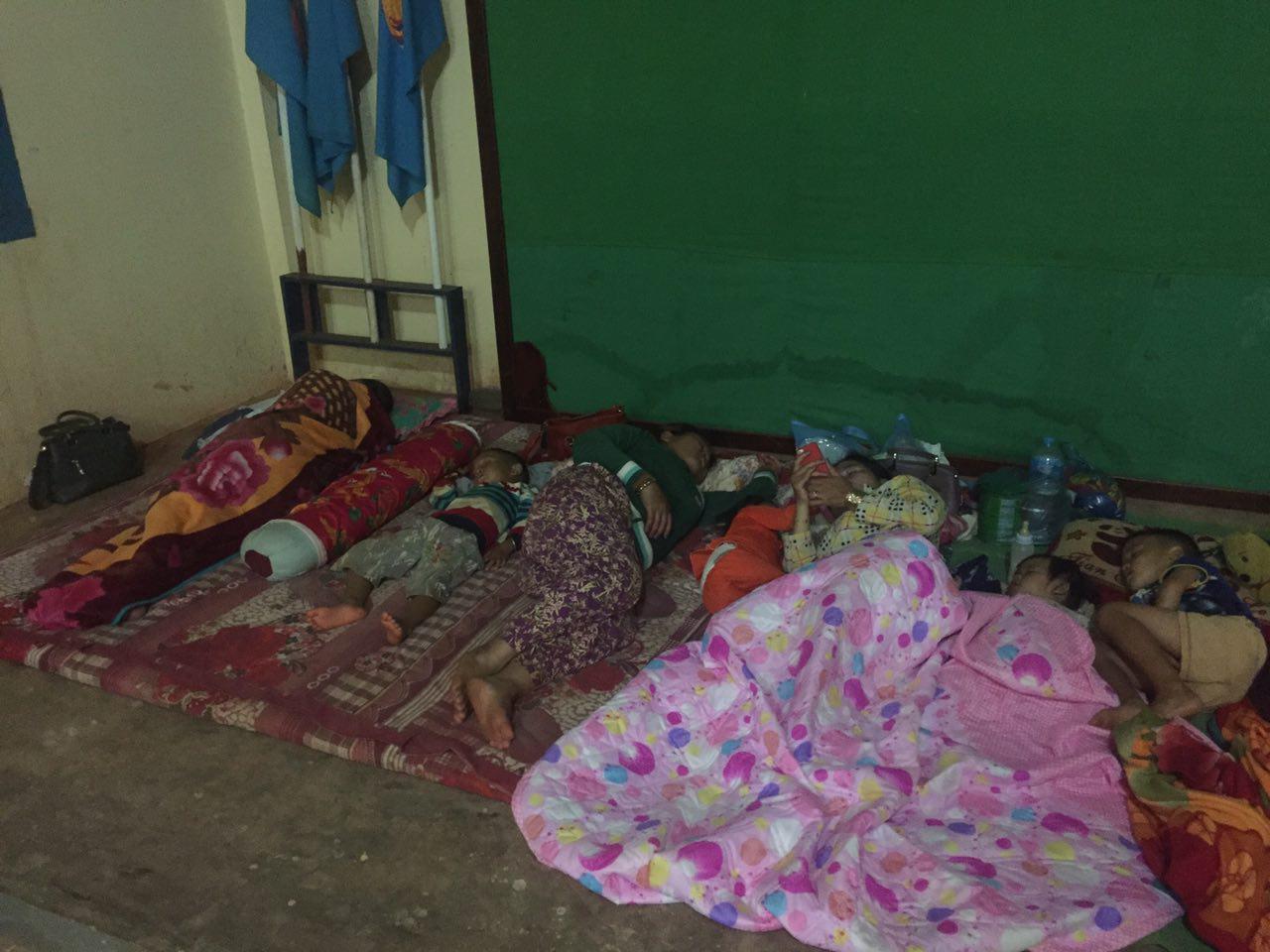
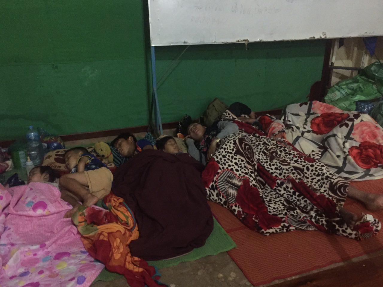
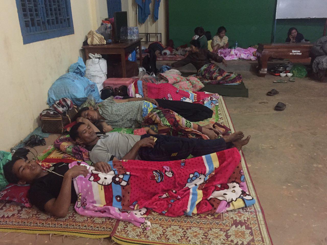
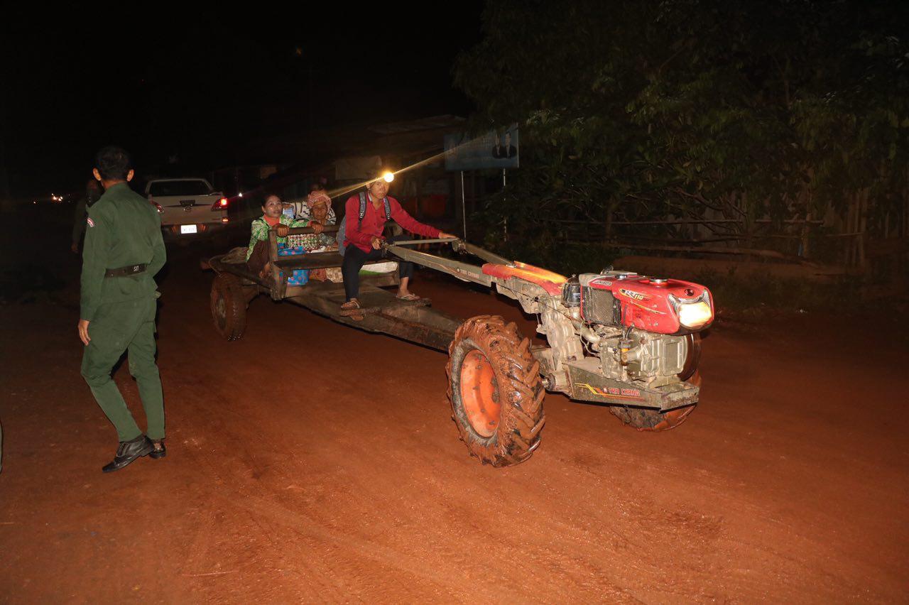
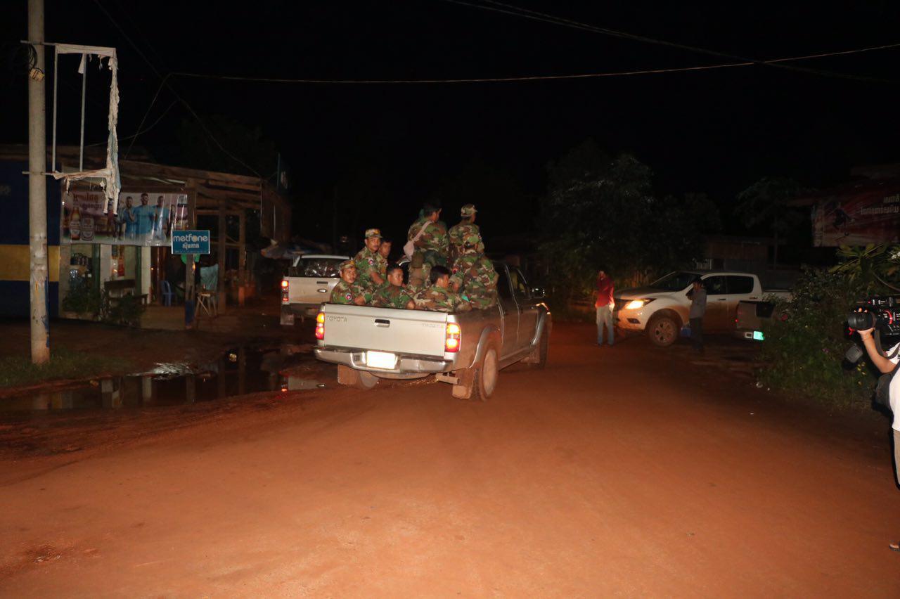
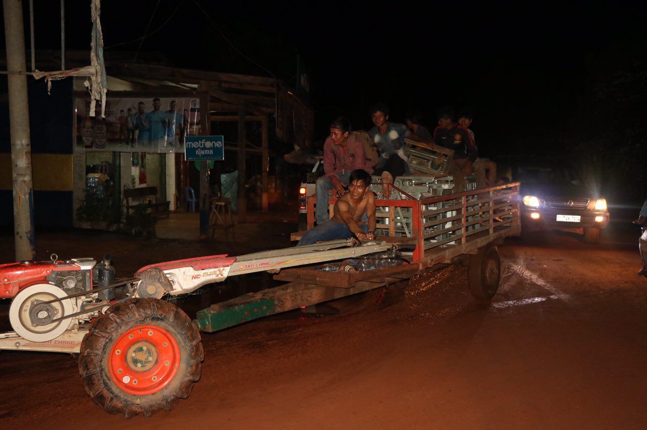
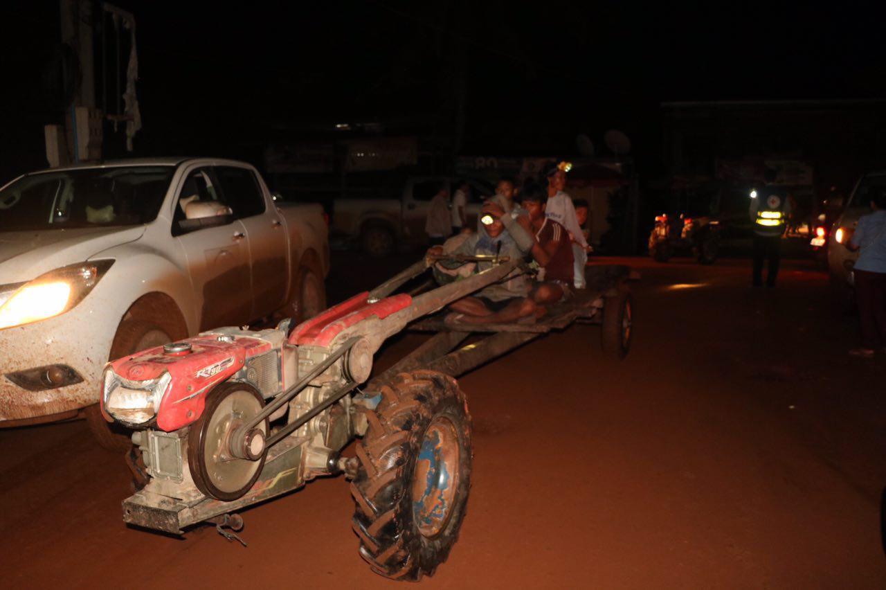
It was reported by Lao state media that, on 23 July, one of the saddle dams failed and unleashed flash flooding into the Xe-Pian river affecting the six villages of Sanamxay district including Yai Thae, Hinlad, Mai, Thasengchan, Tha Hin, and Samong. Hinlad and Mai villages were hard-hit.
“We express condolences for this national tragedy in Lao PDR. We stand ready to visit the site as well as to provide appropriate support in this time of need,” MRC Chief Executive Officer Pham Tuan Phan said.
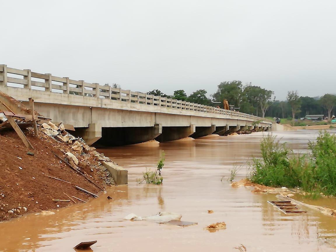
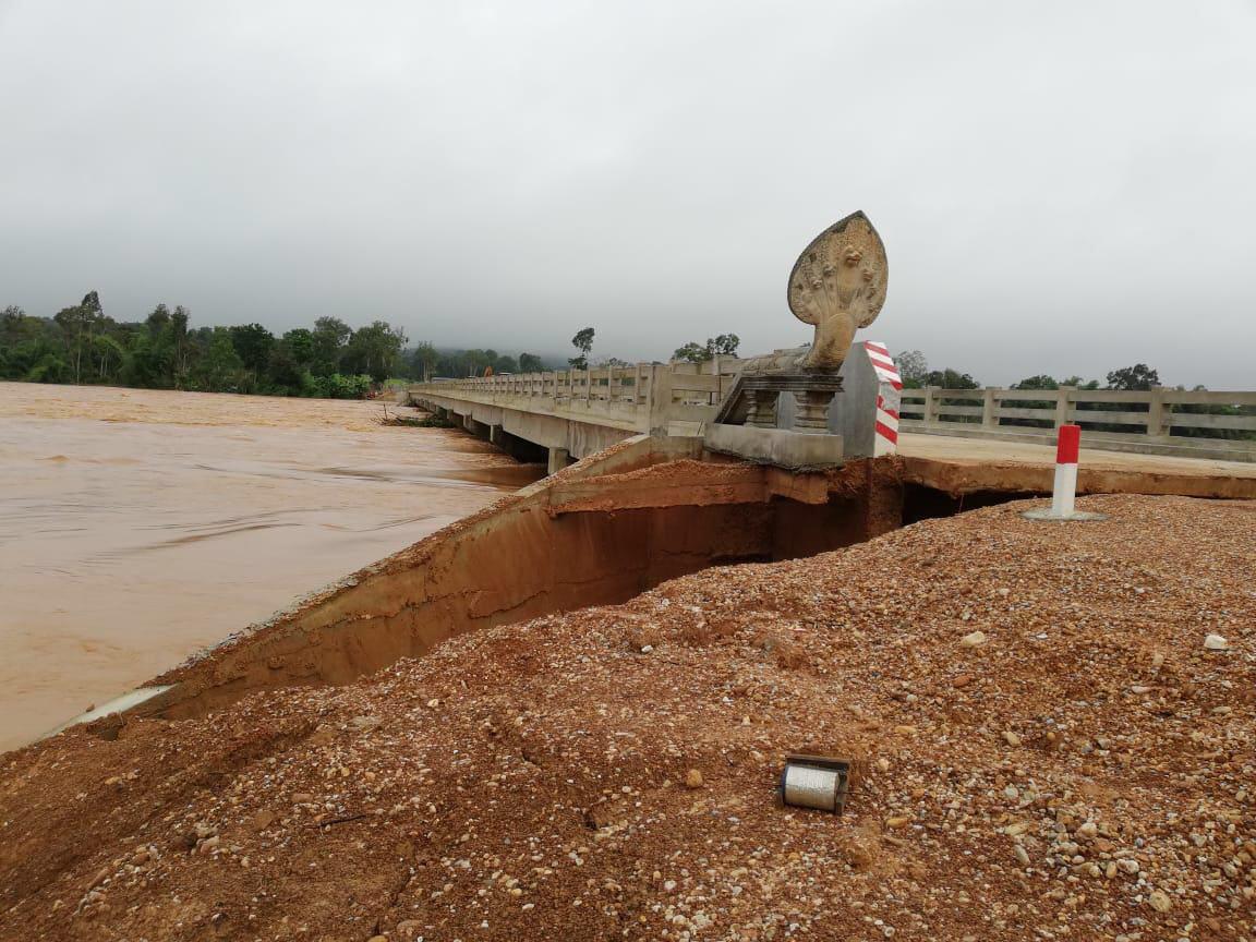
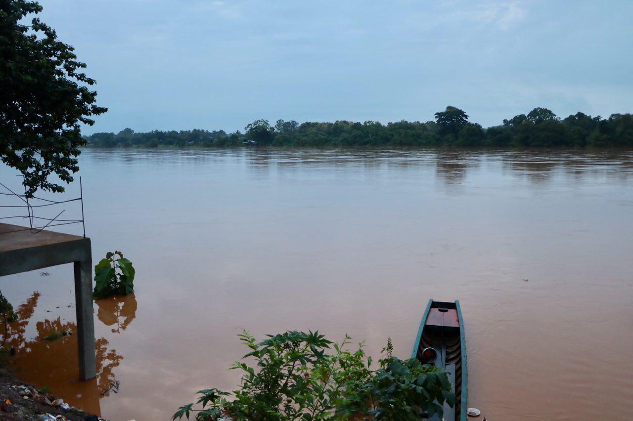
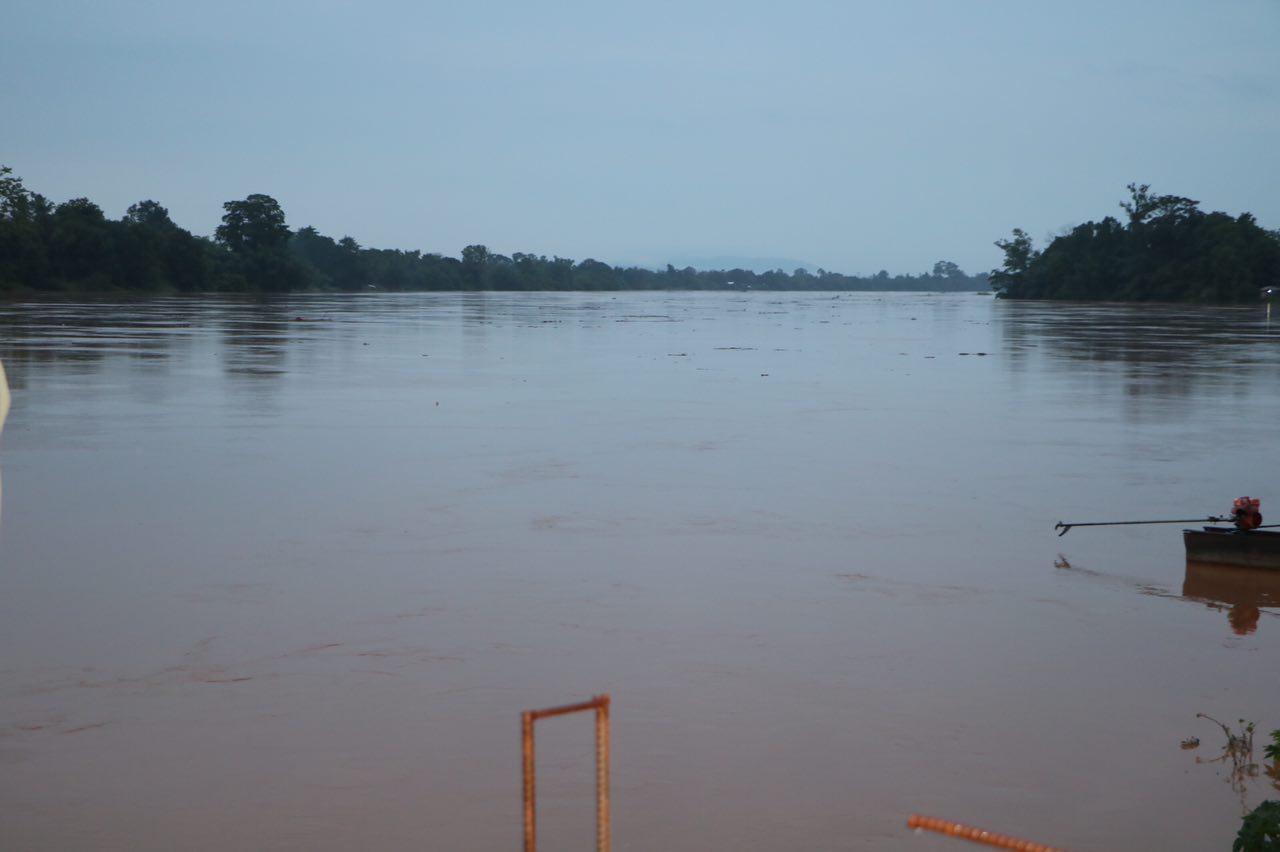
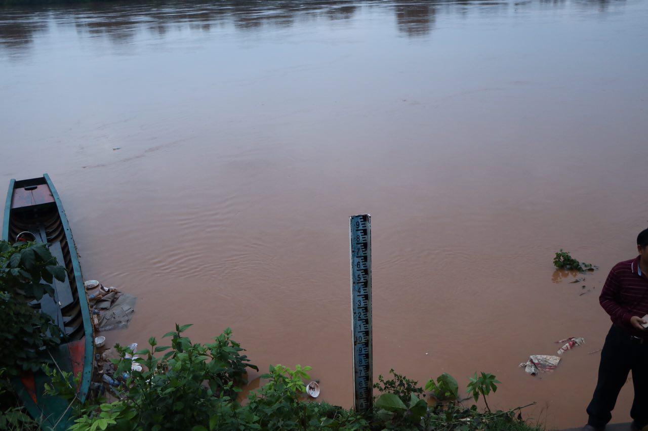
The Xe-Pian river (and Xe-Namnoy river) flow into the Xekong River, a major tributary of the Mekong. The distance from the dam to the confluence of the Xekong and Mekong is about 283 km. Located right below the confluence is Stung Treng in Cambodia with Kratie about 124 km further down.
=FRESH NEWS